Our Mobility is a mixed-methods research protocol for measuring daily mobility. What does that mean, exactly? Social scientists have become very interested in mobility in the past couple of decades, and transportation plays a huge part in making people mobile. They’ve recognized differences in mobility range associated with access to public or private transportation, but typically haven’t asked questions about disabilities, which can contribute to “transportation disadvantage.” Because many studies are conducted by urban planners, geographers, and even sociologists, they also don’t ask questions about how transportation experiences impact our moods, which can spill over into work and home life.
Similar research methods often rely on pen and paper travel diaries or require participants to carry GPS devices or install proprietary software. These studies are generally expensive and time-consuming to administer. Mobile apps built with mobility measurement in mind also run into problems with battery drainage because tracking locations requires pinging locations throughout the day. With some of these limitations in mind, Our Mobility makes use of the location tracking feature available in Google Maps to avoid battery usage problems, and uses a free, open-source and user-programmable survey app called PACO (Personal Analytics COmpanion).
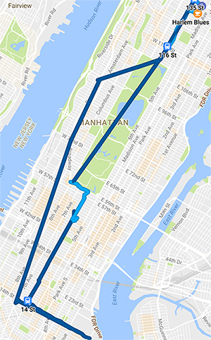
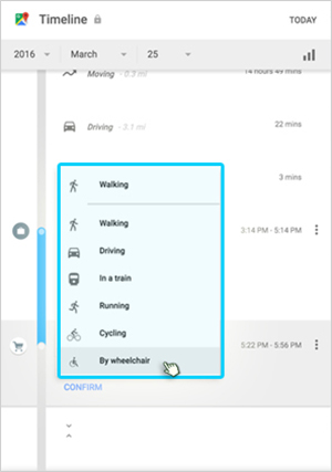
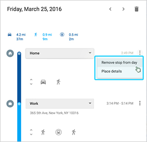
Google Maps Timeline collects reliable GPS data that is verifiable by participants:
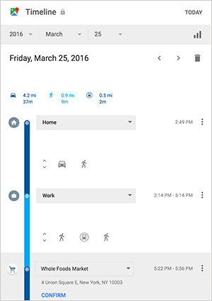
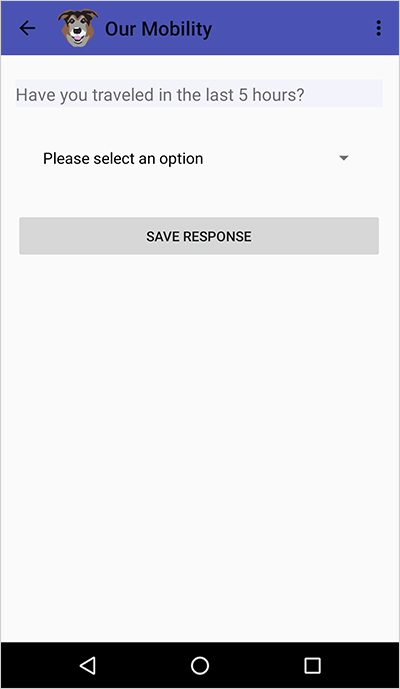
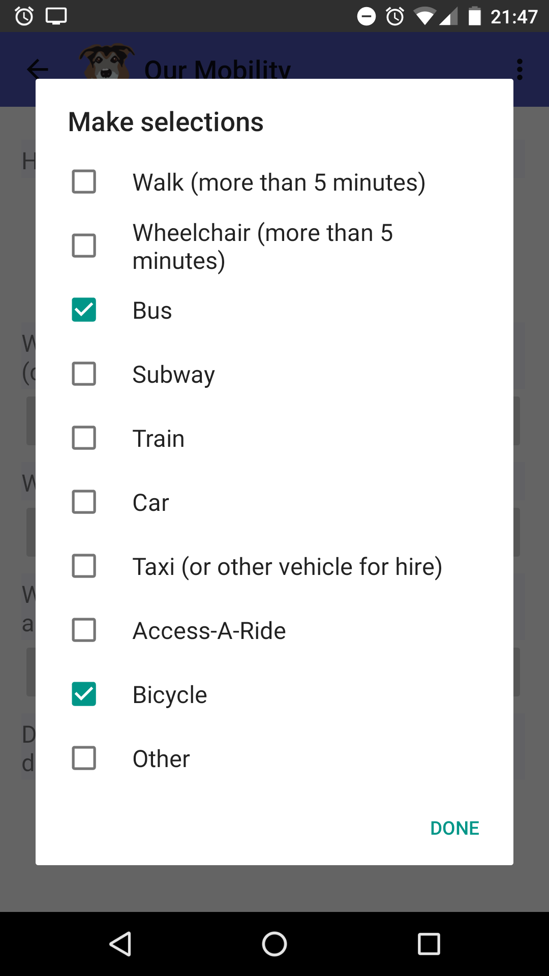
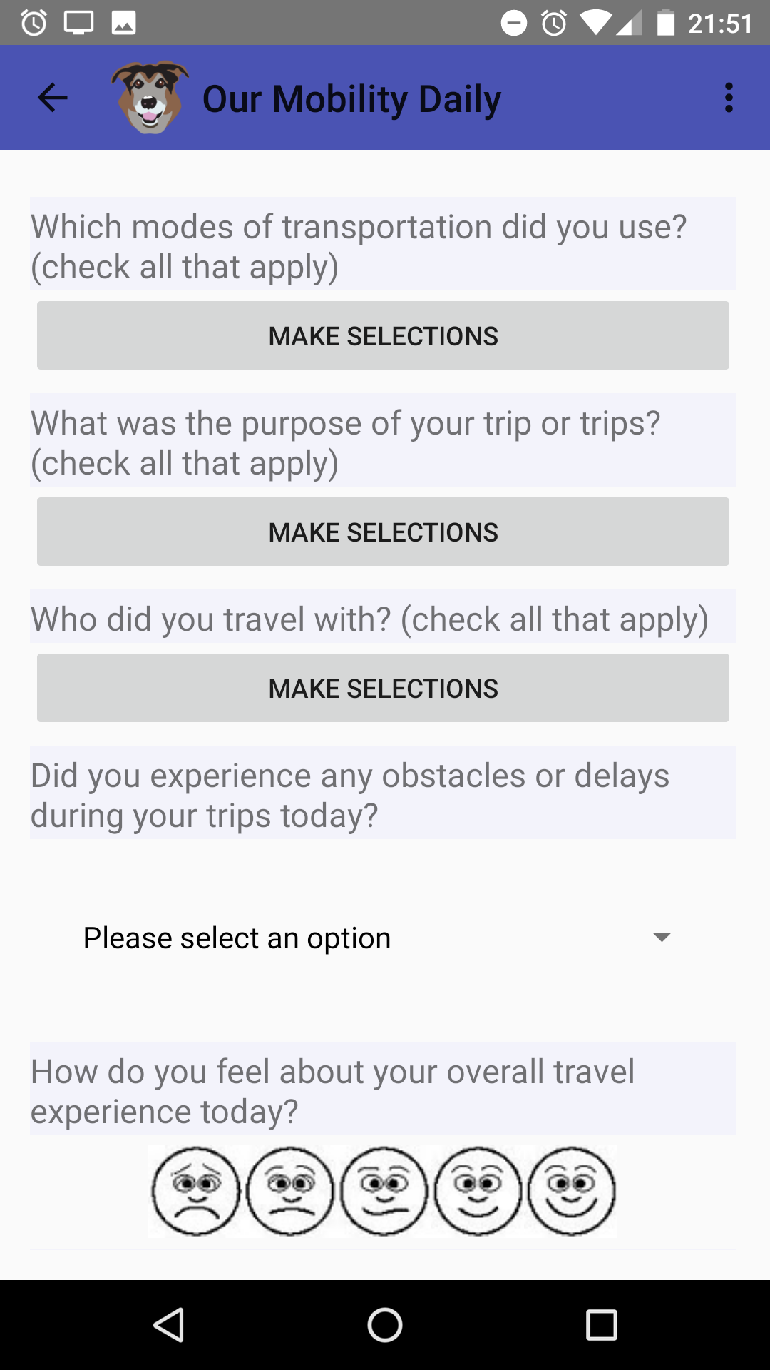
And, the PACO app gathers qualitative insights with a daily travel survey, completed according to a schedule the participant sets.
A pilot study was conducted in 2018 to test these tools for their usefulness and feasibility for daily travel research. The pilot project was funded by a Digital Innovation Grant through the Provost’s Office at The Graduate Center, CUNY.